


PRIMORSKO- PERLA BEACH – “KROKODILA”- UNDERWATER PARK PERLA-PRIMORSKO
BEGINNING POINT - Primorsko - Horse base
WALKING ROUTE LENGTH - 4-5 km. circular
DURATION- 2-3 hours
DENIVILATION - 50m.
DIFFICULTY LEVEL - easy. Suitable for visitors over 7 years if diving.
SUITABLE TIME - May to September
TRANSPORT ACCESSIBILITY- from Primorsko 2 km. on asphalt road from the municipal main road. .Can be reached by car, bicycle or walking tour.
TOURIST INFRASTRUCTURE – There are some restaurants and facilities at the beach.
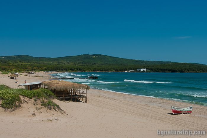
You can leave your car at the parking lot of Perla, and walking distance 1 km on the asphalt road you will reach the underwater park Perla. There are stairs leading to the to the rocks formation -called The Crocodile.
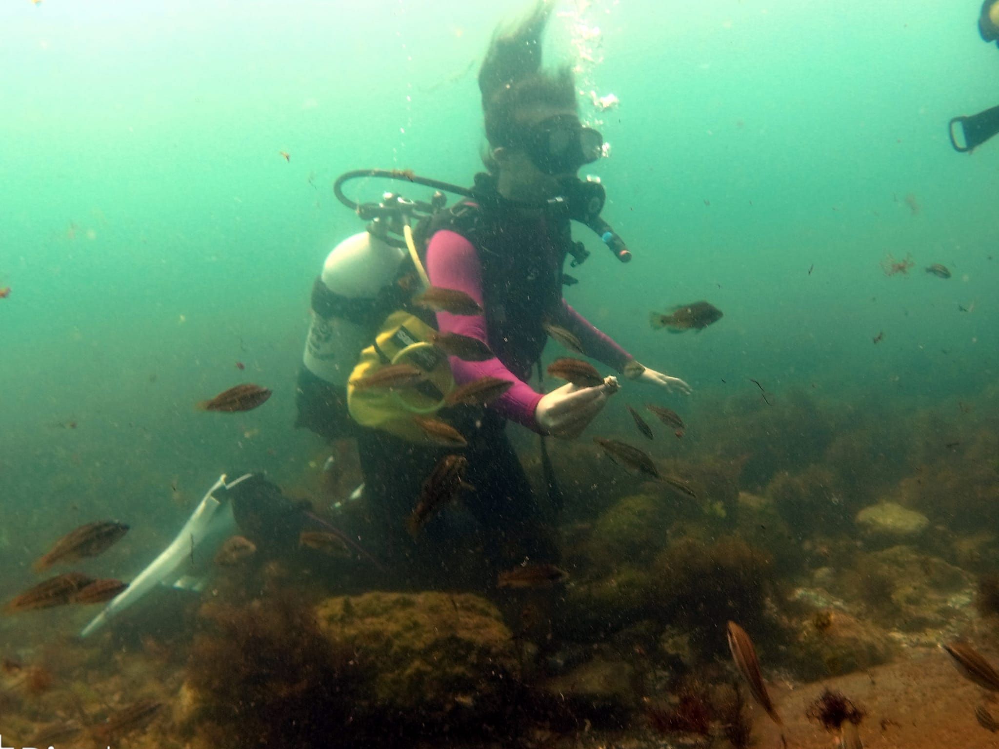
Diving is individual and is done by instructors from Poseidon diving centre.
Near the rock "Little Crocodile" at a depth of 6 m is located the underwater chapel "St. Nicholas".It consists of a massive stone altar with a cross and a candlestick, an icon of the saint and 2 tablets with church text.
A statue of a mermaid in human stature lies on the seabed between the two islands of a small and a large crocodile at a depth of 12 m. The place is used as an underwater art gallery where artists exhibit their paintings, mainly on the theme of environmental protection.
The route also provides opportunities to learn about the underwater world of the seabed. You have the opportunity to enjoy the beautiful bayviews.
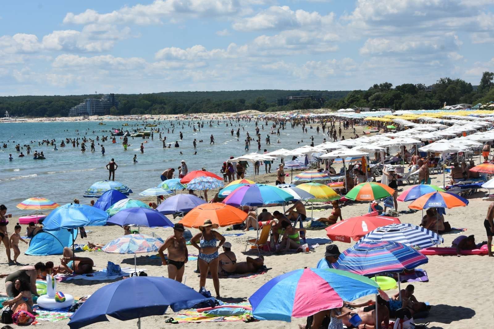
If it is a walking tour, you can return along the Pearl Beach and the northern beach of Primorsko.
There are two options for visiting Maslen Nos Cape. One is by land and the other by sea.
Primorsko-Begliktash-Eco trail "In the footsteps of the Romans"- Maslen Cape-Begliktash- Primorsko
Starting point - Primorsko
Route length-16 km.
Duration-4-5 hours
Descent : 200 m.
Level of difficulty : Medium, suitable for visitors over 7 years.
Suitable weather :from May to September
Availability for visits: all year round, weather permitting
Tourist infrastructure: Refreshments and leaflets can be bought at the place on Begliktash.On Maslen nos cape, you can use the beach, also there is a restaurant for eating ( seasonal opening).
The route is circular, and offers a detour to the Thracian sanctuary Begliktash and from there along the eco-trail "In the footsteps of the Romans" to Maslen Cape. From Primorsko in the direction of Perla at 5 km. is located the crossroad for Begliktash. It is an asphalt the municipal road. It reachable by car or bicycle. There are directional signs. From the end of the asphalt road continues 1.300 km. on a well-maintained forest road, accessible for cars, it is also accessible for people with disabilities.
The most interesting part of the cultural and historical heritage of the municipality of Primorsko is related to the Thracians, their notions and beliefs. Begliktash was the main sanctuary of the Thracian tribe "Skirmishers"-the most ancient metallurgists in Thrace. It is one of the great discoveries of the Thracian history of our Southern Black Sea coast and Strandzha.
Visits during the season / April-September /, paid /2.00/1.00lv./, when presented, guided tours in Bulgarian and Russian.
A large sign directs to the eco-trail "In the footsteps of the Romans" to the famous destination Maslen Cape.An ancient port, a mainstay for sailors and a lighthouse for centuries, and in the present-exotic beach with waters teeming with fish and the presence of bleaching rock formations resembling fjords.
The eco-trail offers beautiful panoramic views of the wild shores on the southern side of the Ropotamo reserve and has a total length of 2.4 km.
Maslen Cape can be reached also by water.
Port Primorje- Maslen Cape- Seal's Cave St. Parashkev Bay- Estuary of the Ropotamo River
Starting point – Primorsko port
Duration: 5-6 hours
Suitable time : from May to September/ sea permitting/
Departs from Primorsko harbour and the route, can be determined according to your preference, can be a picnic to Maslen Cape shell beach for 4-6 hours duration. It can be a photo walk to the Seal Cave, Maslen Cape - St. Parashkeva Bay - the mouth of the Ropotamo River for a duration of 5-6 hours.
Oil Cape - a rocky place, which has a special magical charm.Legend has it that it was mainly used by ships carrying amphorae with olive oil as cargo, hence its present name.
The lighthouse of Maslen Cape dates back to 1863 and is a beautiful white tower rising 7m from the rocky peak. There is a mussels shells sand beautiful beach and a restaurant.
You will enjoy unique rock formations until next stop-
Seal Cave.
The Seal Cave- called like that ,because years ago, according to legend, it was inhabited by monk seals, which are native and common for the Black Sea. Other old sailors claim that the seals were brought from the Baltic Sea by order of the king. Unfortunately, the conditions were unsuitable for them and the last seal disappeared about 30 years ago.
After Zigra and Cape Begliktash you can see the unique view of the St. Parashkeva Bay.The name of the bay comes from an ancient church built of stone and mortar in the XI century. There is a legend that says that the church was established in the time of Simeon the Great, who, visiting the area for hunting, fell in love with the bay and decided to establish a church that patronized sailors and fishermen.
According to scholars from the Burgas History Museum, the name of the church is not accidental and it is associated with the Thracian sanctuary of Begliktash. St. Parashkeva is the patroness of mothers in childbirth, and in the Thracian area there is a "step of the Mother Goddess" and a dolmen representing the "womb", and the sanctuary itself is associated with the cult of fertility and new life.
The route continues through Korakia (translated as ravens), which is the southernmost point of the Burgas Bay, but also represents the longest fjord located on our native Black Sea coast.
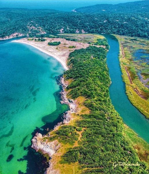
The final destination of the route is the mouth of the river. There is a small pristine beach and it is accessible to few and this makes it particularly striking. The fact that it is located on the territory of the Ropotamo reserve has protected it from that tourist invasion that has taken over most of the beaches south and north of Burgas.